
巴山镇 topographic map
Interactive map
Click on the map to display elevation.
About this map
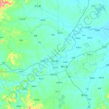
Name: 巴山镇 topographic map, elevation, terrain.
Location: 巴山镇, 崇仁县, 抚州市, 江西省, 中国 (27.72177 115.94255 27.83410 116.16570)
Average elevation: 253 ft
Minimum elevation: 138 ft
Maximum elevation: 955 ft
Other topographic maps
Click on a map to view its topography, its elevation and its terrain.