
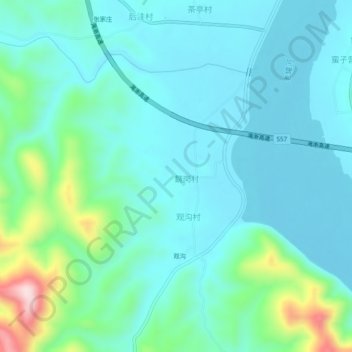
魏岗 topographic map
Interactive map
Click on the map to display elevation.
About this map
Name: 魏岗 topographic map, elevation, terrain.
Location: 魏岗, 淅川县, 南阳市, 河南省, 中国 (33.03865 111.42039 33.07865 111.46039)
Average elevation: 712 ft
Minimum elevation: 509 ft
Maximum elevation: 1,585 ft
Other topographic maps
Click on a map to view its topography, its elevation and its terrain.