
Lincolnwood topographic map
Interactive map
Click on the map to display elevation.
About this map
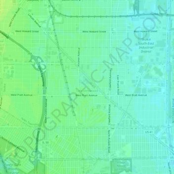
Name: Lincolnwood topographic map, elevation, terrain.
Location: Lincolnwood, Cook County, Illinois, USA (41.99724 -87.76227 42.01542 -87.70907)
Average elevation: 610 ft
Minimum elevation: 591 ft
Maximum elevation: 630 ft