
City of Leduc topographic map
Interactive map
Click on the map to display elevation.
About this map
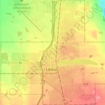
Name: City of Leduc topographic map, elevation, terrain.
Location: City of Leduc, Alberta, Canada (53.23606 -113.61041 53.30858 -113.48842)
Average elevation: 2,385 ft
Minimum elevation: 2,257 ft
Maximum elevation: 2,480 ft