
Wixhausen topographic map
Interactive map
Click on the map to display elevation.
About this map
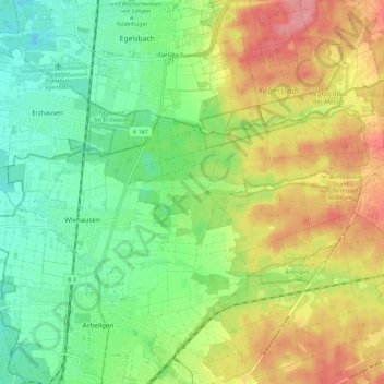
Name: Wixhausen topographic map, elevation, terrain.
Location: Wixhausen, Darmstadt, Hesse, 64291, Germany (49.92030 8.62369 49.95381 8.73901)
Average elevation: 469 ft
Minimum elevation: 344 ft
Maximum elevation: 640 ft