
Antoing topographic map
Interactive map
Click on the map to display elevation.
About this map
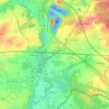
Name: Antoing topographic map, elevation, terrain.
Location: Antoing, Henegouwen, Wallonië, België (50.52765 3.40808 50.58760 3.52858)
Average elevation: 112 ft
Minimum elevation: -348 ft
Maximum elevation: 272 ft