
Springhurst topographic map
Interactive map
Click on the map to display elevation.
About this map
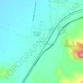
Name: Springhurst topographic map, elevation, terrain.
Location: Springhurst, Rural City of Wangaratta, Victoria, Australia (-36.20604 146.44701 -36.16604 146.48701)
Average elevation: 640 ft
Minimum elevation: 548 ft
Maximum elevation: 1,037 ft
Other topographic maps
Click on a map to view its topography, its elevation and its terrain.
Springhurst
Australia > Victoria > Springhurst
Springhurst, Rural City of Wangaratta, Hume, Victoria, Australia
Average elevation: 784 ft