
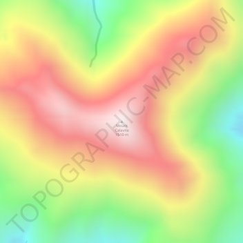
Mount Calavite topographic map
Interactive map
Click on the map to display elevation.
About this map
Name: Mount Calavite topographic map, elevation, terrain.
Average elevation: 3,835 ft
Minimum elevation: 2,448 ft
Maximum elevation: 4,915 ft
Other topographic maps
Click on a map to view its topography, its elevation and its terrain.
Marikit
Philippines > Occidental Mindoro > Paluan
Marikit, Paluan, Occidental Mindoro, Mimaropa, Philippines
Average elevation: 144 ft