
Red Rock Canyon State Park topographic map
Interactive map
Click on the map to display elevation.
About this map
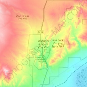
Name: Red Rock Canyon State Park topographic map, elevation, terrain.
Average elevation: 2,923 ft
Minimum elevation: 1,883 ft
Maximum elevation: 4,101 ft