
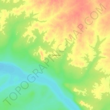
As Suweigat topographic map
Interactive map
Click on the map to display elevation.
About this map
Name: As Suweigat topographic map, elevation, terrain.
Location: As Suweigat, Abu Hamad, Nil-Fluss, Sudan (18.90736 32.27066 18.94736 32.31066)
Average elevation: 971 ft
Minimum elevation: 876 ft
Maximum elevation: 1,050 ft