
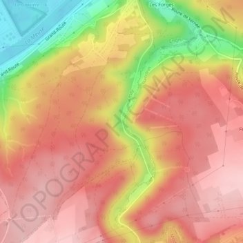
Strée topographic map
Interactive map
Click on the map to display elevation.
About this map
Name: Strée topographic map, elevation, terrain.
Location: Strée, Amay, Liège, Wallonie, 4540, Belgique (50.51739 5.32607 50.53739 5.34607)
Average elevation: 600 ft
Minimum elevation: 203 ft
Maximum elevation: 801 ft