
Rojo topographic map
Interactive map
Click on the map to display elevation.
About this map
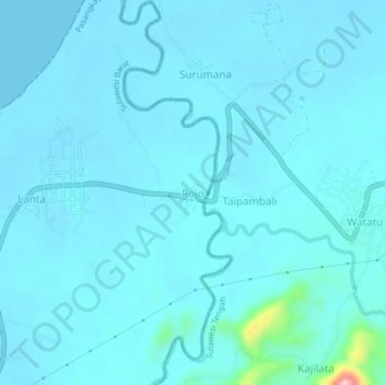
Name: Rojo topographic map, elevation, terrain.
Location: Rojo, Donggala Regency, Central Sulawesi, Indonesia (-0.89270 119.54910 -0.85270 119.58910)
Average elevation: 46 ft
Minimum elevation: 0 ft
Maximum elevation: 646 ft