
Skedsmokorset topographic map
Interactive map
Click on the map to display elevation.
About this map
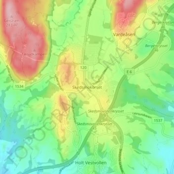
Name: Skedsmokorset topographic map, elevation, terrain.
Location: Skedsmokorset, Lillestrøm, Viken, 2020, Norway (59.98458 11.01280 60.02458 11.05280)
Average elevation: 577 ft
Minimum elevation: 354 ft
Maximum elevation: 912 ft