
Sultanabad topographic map
Interactive map
Click on the map to display elevation.
About this map
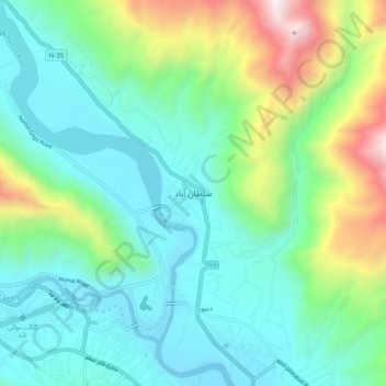
Name: Sultanabad topographic map, elevation, terrain.
Location: Sultanabad, Gilgit District, Gilgit-Baltistan, Pakistan (35.90454 74.33760 35.98454 74.41760)
Average elevation: 6,109 ft
Minimum elevation: 4,613 ft
Maximum elevation: 10,689 ft