
Alfés topographic map
Interactive map
Click on the map to display elevation.
About this map
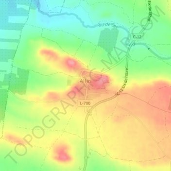
Name: Alfés topographic map, elevation, terrain.
Location: Alfés, Segriá, Lérida, Cataluña, 25161, España (41.51771 0.61598 41.52356 0.62488)
Average elevation: 689 ft
Minimum elevation: 535 ft
Maximum elevation: 850 ft