
Kebili topographic map
Interactive map
Click on the map to display elevation.
About this map
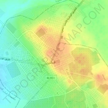
Name: Kebili topographic map, elevation, terrain.
Location: Kebili, Janoura, Kebili Nord, Kébili, 4200, Tunisie (33.69540 8.95062 33.72062 8.97974)
Average elevation: 141 ft
Minimum elevation: 79 ft
Maximum elevation: 200 ft