
Chini Lake topographic map
Interactive map
Click on the map to display elevation.
About this map
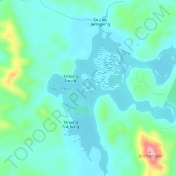
Name: Chini Lake topographic map, elevation, terrain.
Location: Chini Lake, Kampung Tanjung Puput, Pekan, Pahang, Malaysia (3.40787 102.90108 3.44739 102.93045)
Average elevation: 138 ft
Minimum elevation: 3 ft
Maximum elevation: 594 ft