
Timber Island topographic map
Interactive map
Click on the map to display elevation.
About this map
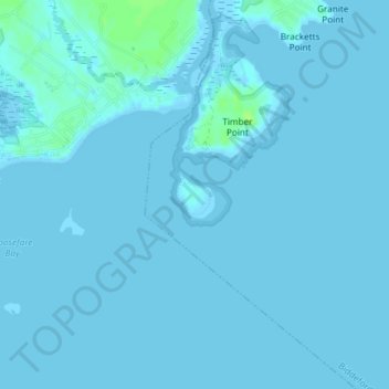
Name: Timber Island topographic map, elevation, terrain.
Location: Timber Island, Biddeford, York County, Maine, USA (43.39395 -70.40049 43.39717 -70.39688)
Average elevation: 3 ft
Minimum elevation: -10 ft
Maximum elevation: 36 ft