
Arunavati topographic map
Interactive map
Click on the map to display elevation.
About this map
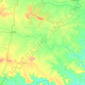
Name: Arunavati topographic map, elevation, terrain.
Location: Arunavati, Yavatmal, Maharashtra, 445001, India (19.99175 77.89634 20.07794 78.16068)
Average elevation: 984 ft
Minimum elevation: 784 ft
Maximum elevation: 1,417 ft