
Copper Falls topographic map
Interactive map
Click on the map to display elevation.
About this map
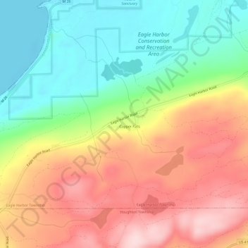
Name: Copper Falls topographic map, elevation, terrain.
Location: Copper Falls, Keweenaw County, Michigan, USA (47.40991 -88.21872 47.44991 -88.17872)
Average elevation: 978 ft
Minimum elevation: 577 ft
Maximum elevation: 1,434 ft