
Thiepval topographic map
Interactive map
Click on the map to display elevation.
About this map
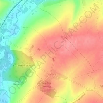
Name: Thiepval topographic map, elevation, terrain.
Average elevation: 397 ft
Minimum elevation: 217 ft
Maximum elevation: 528 ft
Die Gemeinde an der Départementsstraße D151 mit dem Ortsteil St-Pierre-Divion erstreckt sich vom Tal der Ancre im Westen bis auf die östlich davon gelegenen Höhen.