
Álvaro topographic map
Interactive map
Click on the map to display elevation.
About this map
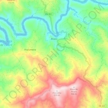
Name: Álvaro topographic map, elevation, terrain.
Location: Álvaro, Oleiros, Castelo Branco, Portugal (39.93449 -8.01533 39.99603 -7.92134)
Average elevation: 1,795 ft
Minimum elevation: 850 ft
Maximum elevation: 3,186 ft