
Molens topographic map
Interactive map
Click on the map to display elevation.
About this map
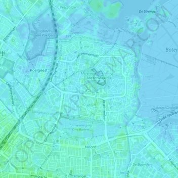
Name: Molens topographic map, elevation, terrain.
Location: Molens, Leiden, Zuid-Holland, Nederland, 2317PA, Nederland (52.16653 4.49598 52.18653 4.51598)
Average elevation: 3 ft
Minimum elevation: -16 ft
Maximum elevation: 20 ft
Other topographic maps
Click on a map to view its topography, its elevation and its terrain.
Zegge
Nederland > Zuid-Holland > Leiden
Zegge, Leiden, Zuid-Holland, Nederland, 2318ZJ, Nederland
Average elevation: 3 ft