
Weyarn topographic map
Interactive map
Click on the map to display elevation.
About this map
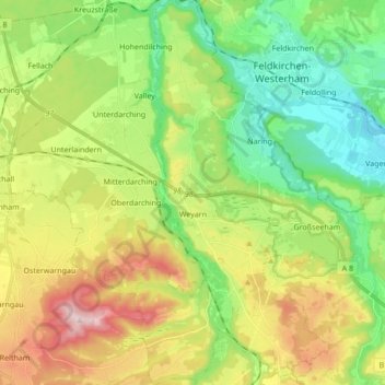
Name: Weyarn topographic map, elevation, terrain.
Location: Weyarn, Landkreis Miesbach, Bavière, 83629, Allemagne (47.80800 11.77370 47.92289 11.87149)
Average elevation: 2,172 ft
Minimum elevation: 1,699 ft
Maximum elevation: 2,953 ft