
Ashenhurst Number 2 Dam topographic map
Interactive map
Click on the map to display elevation.
About this map
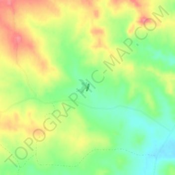
Name: Ashenhurst Number 2 Dam topographic map, elevation, terrain.
Average elevation: 3,133 ft
Minimum elevation: 3,005 ft
Maximum elevation: 3,274 ft