
La Cabaña topographic map
Interactive map
Click on the map to display elevation.
About this map
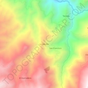
Name: La Cabaña topographic map, elevation, terrain.
Location: La Cabaña, Simiatug, Guaranda, Bolívar, Ecuador (-1.29462 -79.01308 -1.25462 -78.97308)
Average elevation: 9,859 ft
Minimum elevation: 7,877 ft
Maximum elevation: 11,529 ft
Other topographic maps
Click on a map to view its topography, its elevation and its terrain.