
Limbani topographic map
Interactive map
Click on the map to display elevation.
About this map
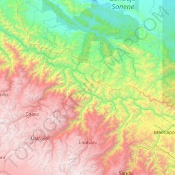
Name: Limbani topographic map, elevation, terrain.
Location: Limbani, Sandia, Puno, Peru (-14.33584 -69.84857 -13.34131 -69.32809)
Average elevation: 7,014 ft
Minimum elevation: 791 ft
Maximum elevation: 17,375 ft