
Älggi topographic map
Interactive map
Click on the map to display elevation.
About this map
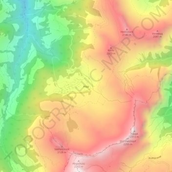
Name: Älggi topographic map, elevation, terrain.
Location: Älggi, Obwalden, Schweiz (46.77753 8.21655 46.81753 8.25655)
Average elevation: 5,472 ft
Minimum elevation: 3,002 ft
Maximum elevation: 7,615 ft