
San Cristóbal topographic map
Interactive map
Click on the map to display elevation.
About this map
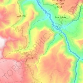
Name: San Cristóbal topographic map, elevation, terrain.
Location: San Cristóbal, Luya, Amazonas, Peru (-6.11784 -78.04144 -6.03777 -77.91984)
Average elevation: 7,490 ft
Minimum elevation: 4,518 ft
Maximum elevation: 10,696 ft
Other topographic maps
Click on a map to view its topography, its elevation and its terrain.