
Guantanamo topographic map
Interactive map
Click on the map to display elevation.
About this map
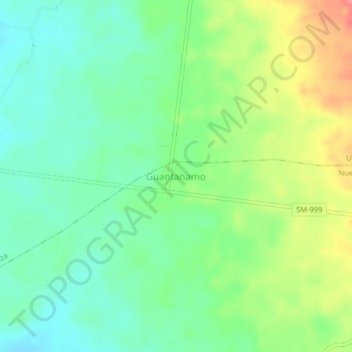
Name: Guantanamo topographic map, elevation, terrain.
Location: Guantanamo, Nuevo Progreso, Tocache, San Martín, Pérou (-8.39204 -76.29639 -8.35204 -76.25639)
Average elevation: 1,834 ft
Minimum elevation: 1,739 ft
Maximum elevation: 2,005 ft
Other topographic maps
Click on a map to view its topography, its elevation and its terrain.
Pueblo Libre
Pérou > San Martín > Pueblo Libre
Pueblo Libre, Moyobamba, San Martín, Pérou
Average elevation: 2,762 ft