
Nyahururu topographic map
Interactive map
Click on the map to display elevation.
About this map
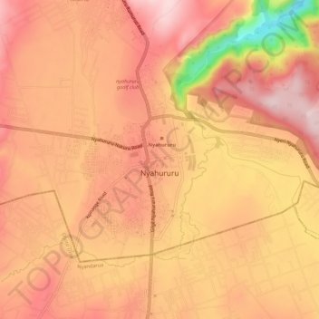
Name: Nyahururu topographic map, elevation, terrain.
Location: Nyahururu, Laikipia, Kenia (0.01848 36.34296 0.05262 36.39763)
Average elevation: 7,703 ft
Minimum elevation: 7,028 ft
Maximum elevation: 7,995 ft