
Santa Cecilia topographic map
Interactive map
Click on the map to display elevation.
About this map
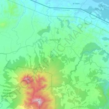
Name: Santa Cecilia topographic map, elevation, terrain.
Average elevation: 1,230 ft
Minimum elevation: 102 ft
Maximum elevation: 5,364 ft
Other topographic maps
Click on a map to view its topography, its elevation and its terrain.
La Garita
La Garita, Cantón La Cruz, Provincia Guanacaste, 51003, Costa Rica
Average elevation: 840 ft