
Bilambil Heights topographic map
Interactive map
Click on the map to display elevation.
About this map
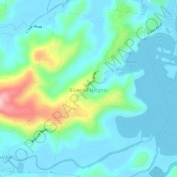
Name: Bilambil Heights topographic map, elevation, terrain.
Average elevation: 135 ft
Minimum elevation: -3 ft
Maximum elevation: 679 ft
Other topographic maps
Click on a map to view its topography, its elevation and its terrain.
Bilambil
Australia > New South Wales > Bilambil
Bilambil, Tweed Shire Council, New South Wales, 2486, Australia
Average elevation: 249 ft