
Paridera de Sierra topographic map
Interactive map
Click on the map to display elevation.
About this map
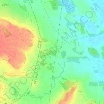
Name: Paridera de Sierra topographic map, elevation, terrain.
Location: Paridera de Sierra, La Puebla de Híjar, Teruel, Aragón, España (41.23705 -0.51249 41.25705 -0.49249)
Average elevation: 899 ft
Minimum elevation: 827 ft
Maximum elevation: 1,001 ft