
Oakwood Lakes topographic map
Interactive map
Click on the map to display elevation.
About this map
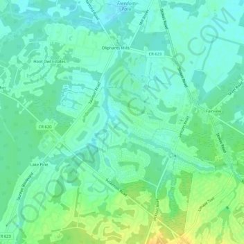
Name: Oakwood Lakes topographic map, elevation, terrain.
Location: Oakwood Lakes, Burlington County, New Jersey, 08055, USA (39.85289 -74.85155 39.89289 -74.81155)
Average elevation: 62 ft
Minimum elevation: 33 ft
Maximum elevation: 112 ft