
阳坡村 topographic map
Interactive map
Click on the map to display elevation.
About this map
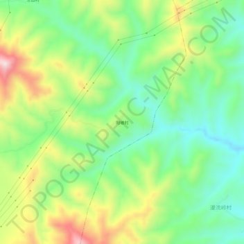
Name: 阳坡村 topographic map, elevation, terrain.
Location: 阳坡村, 潞华街道, 潞城区, 长治市, 山西省, 中国 (36.36958 113.26542 36.40958 113.30542)
Average elevation: 3,173 ft
Minimum elevation: 2,664 ft
Maximum elevation: 4,019 ft