
Galloway topographic map
Interactive map
Click on the map to display elevation.
About this map
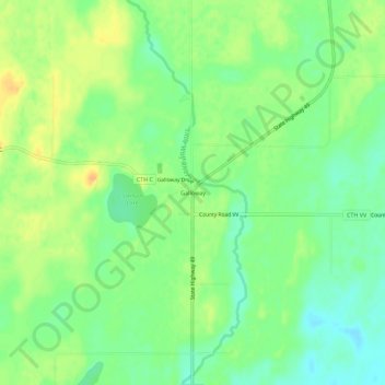
Name: Galloway topographic map, elevation, terrain.
Location: Galloway, Town of Franzen, Marathon County, Wisconsin, USA (44.69275 -89.28428 44.73275 -89.24428)
Average elevation: 1,171 ft
Minimum elevation: 1,122 ft
Maximum elevation: 1,227 ft