
Saltillo topographic map
Interactive map
Click on the map to display elevation.
About this map
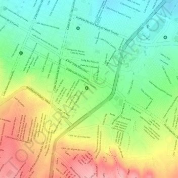
Name: Saltillo topographic map, elevation, terrain.
Location: Saltillo, Coahuila, México (25.40734 -100.98336 25.40782 -100.98288)
Average elevation: 5,400 ft
Minimum elevation: 5,194 ft
Maximum elevation: 5,656 ft
Other topographic maps
Click on a map to view its topography, its elevation and its terrain.