
Roboré topographic map
Interactive map
Click on the map to display elevation.
About this map
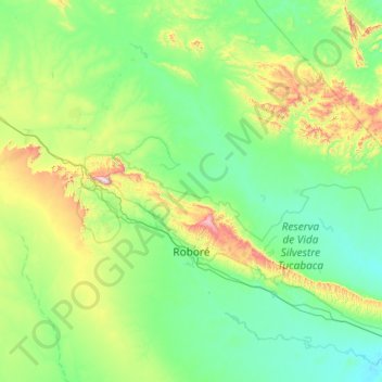
Name: Roboré topographic map, elevation, terrain.
Location: Roboré, Chiquitos, Santa Cruz, Bolivia (-18.66968 -60.11751 -17.64024 -58.96094)
Average elevation: 1,145 ft
Minimum elevation: 512 ft
Maximum elevation: 4,242 ft