
Macon topographic map
Interactive map
Click on the map to display elevation.
About this map
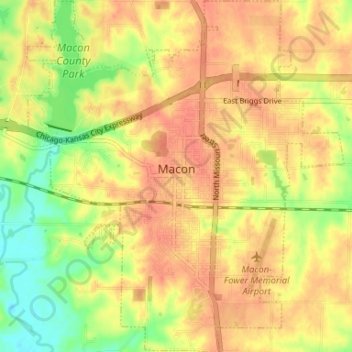
Name: Macon topographic map, elevation, terrain.
Location: Macon, Macon County, Missouri, 63552, USA (39.71586 -92.50087 39.76648 -92.44127)
Average elevation: 837 ft
Minimum elevation: 738 ft
Maximum elevation: 896 ft