
Esche topographic map
Interactive map
Click on the map to display elevation.
About this map
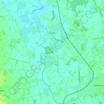
Name: Esche topographic map, elevation, terrain.
Average elevation: 59 ft
Minimum elevation: 43 ft
Maximum elevation: 105 ft
Other topographic maps
Click on a map to view its topography, its elevation and its terrain.
Itterbeck
Allemagne > Basse-Saxe > Comté de Bentheim (arrondissement)
Itterbeck, Samtgemeinde Uelsen, Comté de Bentheim (arrondissement), Basse-Saxe, 49847, Allemagne
Average elevation: 112 ft
Hardingen
Allemagne > Basse-Saxe > Comté de Bentheim (arrondissement) > Halle
Hardingen, Halle, Samtgemeinde Uelsen, Comté de Bentheim (arrondissement), Basse-Saxe, 49843, Allemagne
Average elevation: 92 ft