
Lonneker topographic map
Interactive map
Click on the map to display elevation.
About this map
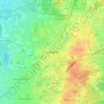
Name: Lonneker topographic map, elevation, terrain.
Location: Lonneker, Overijssel, Niederlande, 7524, Niederlande (52.23011 6.88984 52.27011 6.92984)
Average elevation: 154 ft
Minimum elevation: 95 ft
Maximum elevation: 220 ft