
Chicholi topographic map
Interactive map
Click on the map to display elevation.
About this map
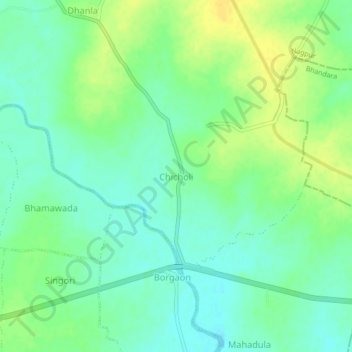
Name: Chicholi topographic map, elevation, terrain.
Location: Chicholi, Mauda, Nagpur, Maharashtra, 441904, India (21.14906 79.46354 21.18906 79.50354)
Average elevation: 866 ft
Minimum elevation: 830 ft
Maximum elevation: 909 ft