Geolocate

Cape Haze topographic map

Click on the map to display elevation.

About this map

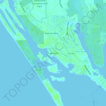
Name: Cape Haze topographic map, elevation, terrain.

Location: Cape Haze, Charlotte County, Florida, 33946, United States (26.83034 -82.31426 26.87034 -82.27426)

Average elevation: 7 ft

Minimum elevation: -13 ft

Maximum elevation: 33 ft

Charlotte County trails, hiking, mountain biking, running and outdoor activities

Gear up for your next adventure:

🧺Microfiber Travel Towels - Compact and fast-drying towels for trail use
🎒Trekking Poles - Sturdy poles for balance and stability on rough terrain
🔭Compact Binoculars - HD vision for scouting terrain and identifying distant landmarks
🔦LED Headlamp - Bright and durable LED headlamp for night navigation
🧭Hiking Compass - Precision compass for reliable navigation in the wilderness

As an Amazon Associate, this site earns from qualifying purchases at no extra cost to you.