
Oudleusen topographic map
Interactive map
Click on the map to display elevation.
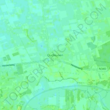
Oudleusen topographic map, elevation, terrain
About this map
Name: Oudleusen topographic map, elevation, terrain.
Location: Oudleusen, Overijssel, Niederlande, 7722, Niederlande (52.51343 6.29225 52.55343 6.33225)
Average elevation: 13 ft
Minimum elevation: 0 ft
Maximum elevation: 26 ft