
Patuxent Wildlife Research Center - North Tract topographic map
Interactive map
Click on the map to display elevation.
About this map
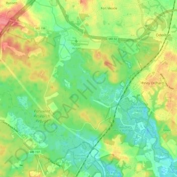
Name: Patuxent Wildlife Research Center - North Tract topographic map, elevation, terrain.
Average elevation: 144 ft
Minimum elevation: 43 ft
Maximum elevation: 289 ft