
Cumings topographic map
Interactive map
Click on the map to display elevation.
About this map
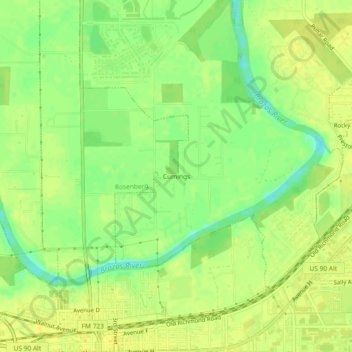
Name: Cumings topographic map, elevation, terrain.
Location: Cumings, Fort Bend County, Texas, 44769, USA (29.55829 -95.81884 29.59829 -95.77884)
Average elevation: 95 ft
Minimum elevation: 46 ft
Maximum elevation: 118 ft