
Tangos topographic map
Interactive map
Click on the map to display elevation.
About this map
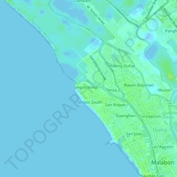
Name: Tangos topographic map, elevation, terrain.
Location: Tangos, Navotas, Metro Manila, 1489, Philippines (14.65451 120.91380 14.69451 120.95380)
Average elevation: 7 ft
Minimum elevation: -10 ft
Maximum elevation: 33 ft