
Boxfi topographic map
Interactive map
Click on the map to display elevation.
About this map
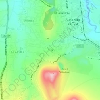
Name: Boxfi topographic map, elevation, terrain.
Location: Boxfi, Atotonilco de Tula, Hidalgo, 42900, Mexico (19.97667 -99.24921 20.01667 -99.20921)
Average elevation: 7,205 ft
Minimum elevation: 6,942 ft
Maximum elevation: 7,736 ft