
The Fort topographic map
Interactive map
Click on the map to display elevation.
About this map
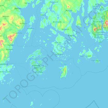
Name: The Fort topographic map, elevation, terrain.
Location: The Fort, Hancock County, Maine, 04683, USA (43.83508 -69.02975 44.47508 -68.38975)
Average elevation: 52 ft
Minimum elevation: -7 ft
Maximum elevation: 1,322 ft
Other topographic maps
Click on a map to view its topography, its elevation and its terrain.
Cunningham Mountains
Cunningham Mountains, Penobscot County, Maine, USA
Average elevation: 860 ft